Facility and property overviews
Show the relationship between buildings, yards, access roads, and surrounding property. Use those wider views on a website, in a proposal, or as supporting material for a client presentation.

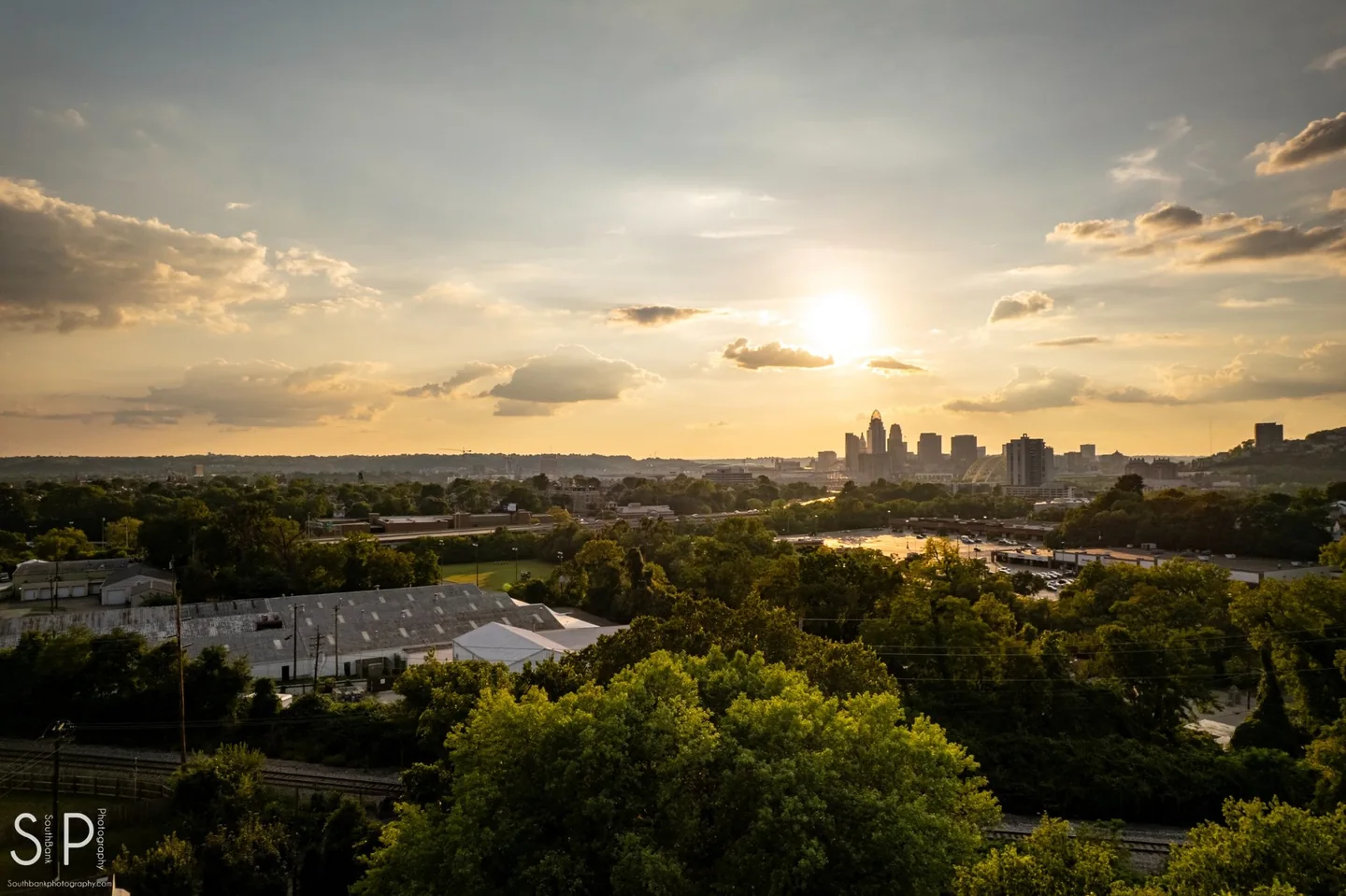
Northern Kentucky + Greater Cincinnati
Aerial imagery can show how a property is laid out, how a facility is accessed, or how a project sits in its surroundings. Plan an aerial photo or video project with SouthBank Digital in Northern Kentucky and Greater Cincinnati.
The right overhead view can show size, access, and site relationships in a way ground photography can’t. We plan the requested views first, then check the location, surroundings, access, and flight requirements before confirming a shoot.
Show the relationship between buildings, yards, access roads, and surrounding property. Use those wider views on a website, in a proposal, or as supporting material for a client presentation.
Document visible changes from agreed vantage points. Share the stages that matter and whether you need a single overview or images at multiple visits.
Plan short establishing shots and overhead sequences that put ground-level footage in context. Share where the video will run so we can plan framing and delivery.
Pair wider views with close photographs of crews, equipment, or finished work. This is useful when a single project needs both a broad overview and details people can recognize.
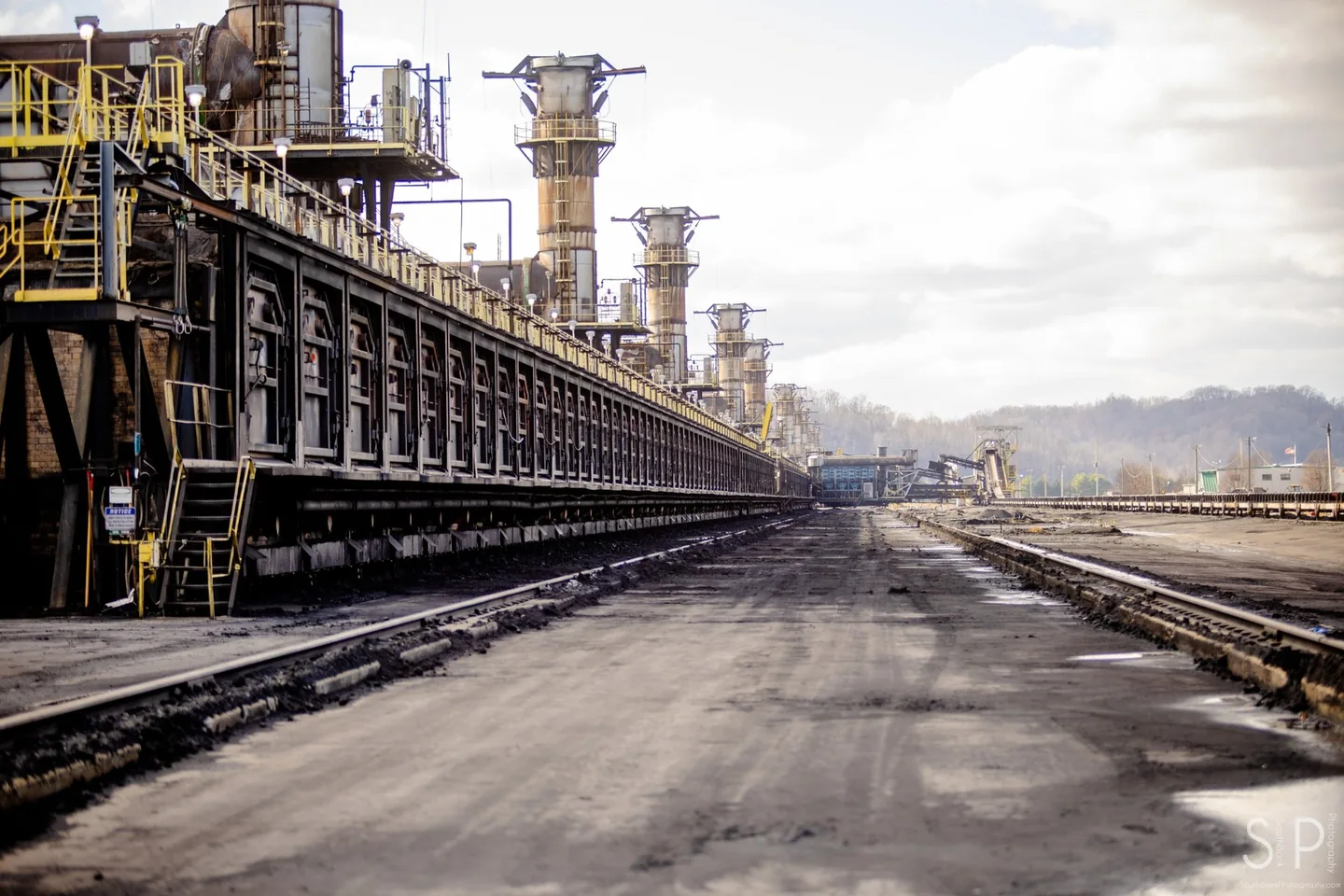
Send the location and the views you need. Scheduling depends on site access, airspace, weather, and the availability of an appropriately certificated remote pilot. We’ll discuss practical alternatives if flight conditions rule out a requested view.
Flight feasibility depends on the exact location, airspace, weather, surrounding activity, and the approvals that apply. An address and a description of the requested coverage are the best starting point.
Yes. The shot list can pair ground images with wider views so the final set explains both the site and the details of the work.
Include the site address, preferred timing, what the images need to show, and where you will use them. Mention access restrictions or on-site work that may affect the shoot.
Send a location, the views you need, and what the imagery will be used for.